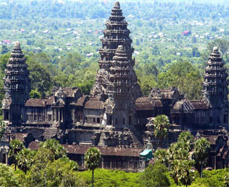
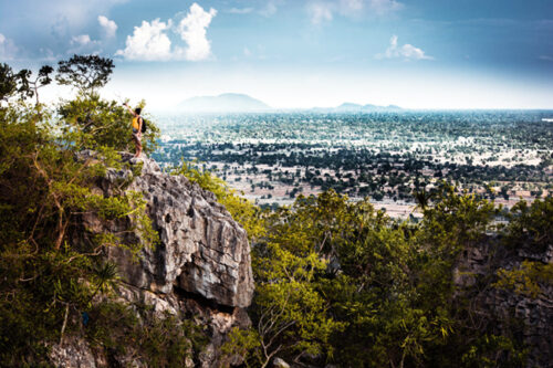
 SIEM REAP – More than a million people visit the famous temples around Siem Reap each year, but it took an aerial laser survey carried out in early 2012 to reveal traces of a vast urban network surrounding the Angkor and Koh Ker temple complexes and a previously undiscovered ancient city on nearby Phnom Kulen.
Using a laser scanner strapped to a helicopter, the researchers were able penetrate the vegetation that has long blocked a view of the ground. The results of that aerial survey and subsequent on-the-ground fieldwork, which are to be published this week in the Proceedings of the National Academy of Sciences of the USA, may well change history as we know it.
“Our jaws dropped,” said University of Sydney’s Damian Evans, who heads the partnership of eight organisations — including the government’s APSARA Authority — that conducted the research.
“It reveals quite clearly that the formalised, urban center of the city of Angkor extends over at least 35 sq km, rather than simply the 9 sq km conventionally recognized within the walls of Angkor Thom,” notes the paper.
The survey — the first of its kind in Asia — shows that mounds and depressions that appear patternless from the ground actually form the remnants of highly structured city grids, roads, dams and canals.
According their paper, the data demonstrated that “the intensity of land-use and the extent of urban and agricultural space have both been dramatically underestimated in the Angkor region until now.”
These findings suggest that in the 12th century the area contained a “very large population” sustained by regular agricultural imports from the countryside.
Dependence on surplus agriculture and large water-management systems, in turn, show how droughts contributed to the civilisation’s eventual collapse, researchers say.
Pointing to a mound outside of the crumbling walls of the Beng Mealea temple on a recent expedition with the Post, Evans explained that “this was once the foundation for a block of wooden structures”.
Those structures have long since disappeared into the jungle, leaving only slight mounds and dips that are easy to overlook amid the trees and underbrush, and are overshadowed by the mossy ruins of the temple.
The mounds each span a few metres in diameter and look — to the untrained eye — like nothing more than natural undulations of the earth.
Archaeologists, however, have long known they meant more.
A different type of research
Siem Reap is a naturally flat flood plain, so even such small variegations
are evidence of human settlement, Evans said.
Still, with no way to see through the tree canopy, researchers before the present study were able to learn about the shape and extent of this settlement only by painstakingly hacking through the vegetation by hand.
Evans and his team’s choice of laser-imaging detection and ranging technology, or lidar, was much more efficient – though also much more expensive.
Aerial lidar surveys fire millions of laser beams at the ground and measure the time they take to bounce back, using tiny differences in time to calculate variations in elevation.
The Angkor project, which is the most extensive archaeological lidar survey ever conducted, used a particularly high concentration of beams to ensure that some made their way through the trees to the earth below and then back to the machine.
After a computer screened out results reflected from vegetation, the data revealed — in detail by up to a few centimetres — images of “every small dyke, every ancient road”, said Jean-Baptiste Chevance, program manager of the Archaeological and Development Foundation, another group involved in the project.
Sourced: The Phnom Penh Post


